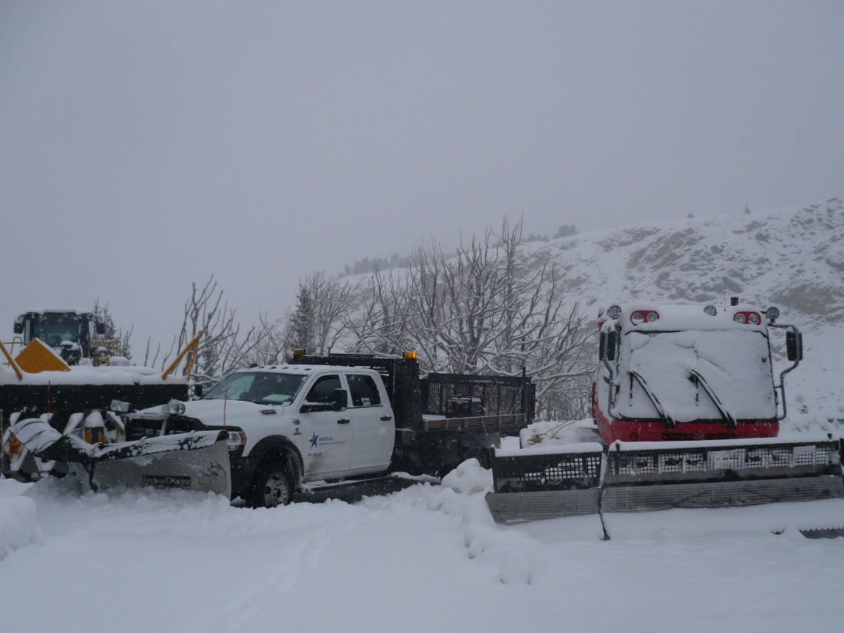
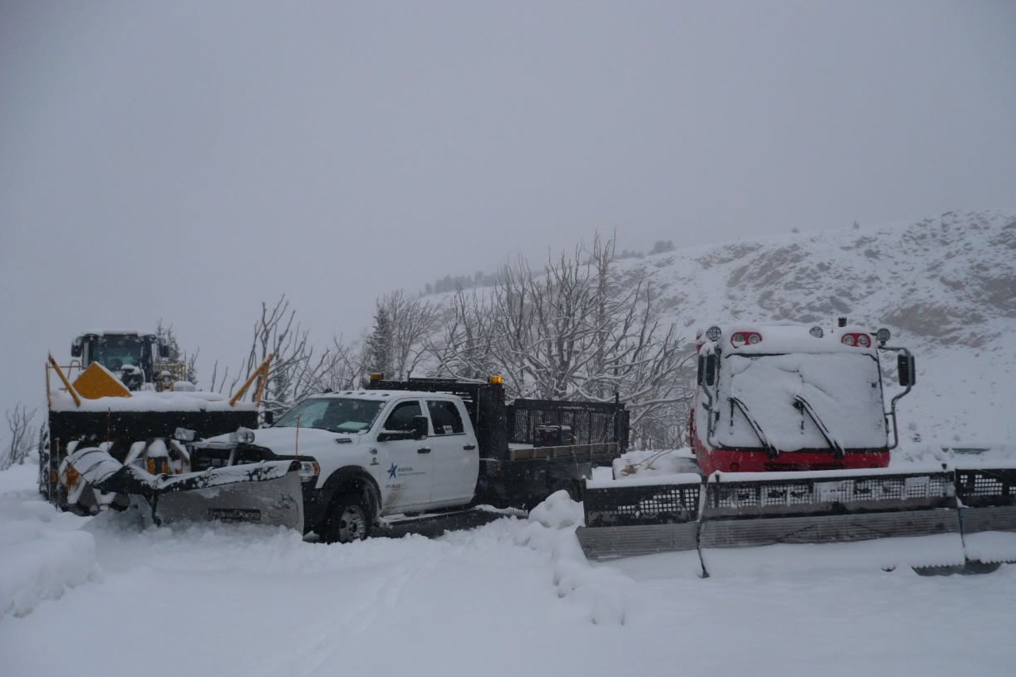
Winter is arriving early: first widespread snowfall could bring a foot of snow to the Rockies
Some locations could receive 6 to 12 inches of snow between Saturday and Monday
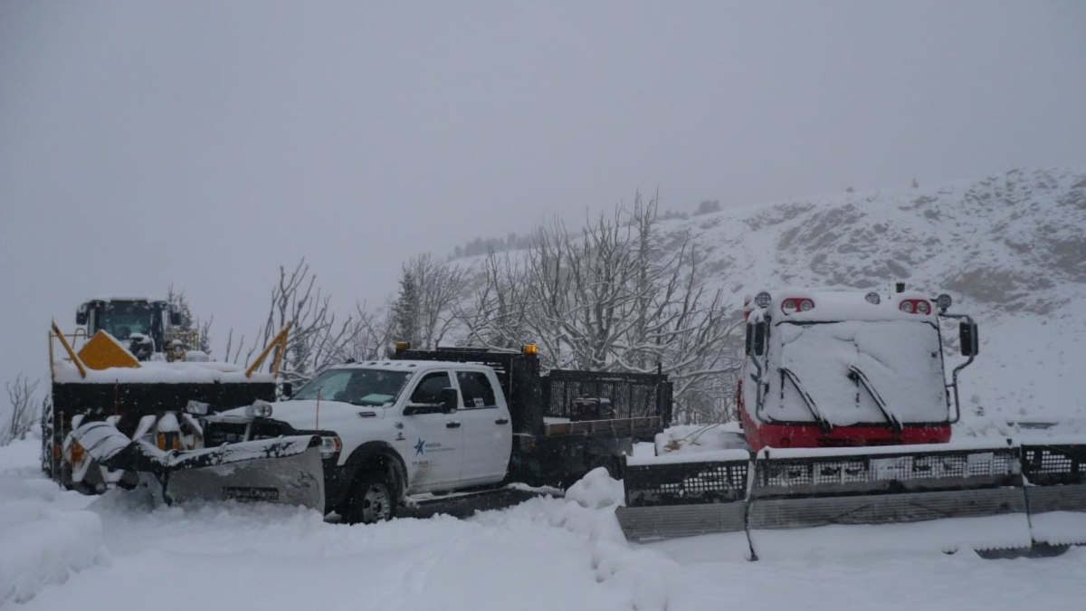
A hurricane's remnants, plunging temperatures and a major shift in the jet stream are combining to produce an unusual early-season weather event across the western United States : the first widespread snowfall of the season is forecast for the Northern Rockies, with some mountainous areas potentially receiving a foot of snow.
While the Southeast prepares for the impacts of Hurricane Isaias and its remnants over the weekend of October 10, parts of Idaho, Montana and Wyoming are bracing for a very different threat. The approaching storm could bring accumulating snow to elevations as low as 4,000 feet, potentially delivering the first snowfall of the season to some valleys while burying higher terrain.
"The first widespread snowfall of the season is expected across the Northern Rockies this weekend into early next week," the National Oceanic and Atmospheric Administration's Weather Prediction Center said in an October 7 post on X.
AccuWeather senior meteorologist Brett Anderson forecast that some locations could receive 6 to 12 inches of snow between Saturday, October 10, and Monday, October 12. The highest elevations could see even greater accumulations. The forecast stands out not only because of the timing but also because of the unusual combination of weather systems expected to produce the snow.
Why is this October snowfall so unusual?
Snow in the Northern Rockies during October is not unprecedented. Mountain peaks can receive snow well before winter officially arrives, and some high-elevation areas had already experienced snowfall in recent weeks. What makes this forecast unusual is the potential for widespread accumulation at lower elevations, combined with the role of moisture from a tropical system in fueling the storm.
"While there has been some high-elevation snow in recent weeks in the Cascades and northern Rockies, snow levels will dip much lower in portions of Idaho, Montana and Wyoming," AccuWeather senior meteorologist Adam Douty said.
Some valley locations could experience their first snowfall of the season, while heavier accumulations are expected across higher terrain. T he National Weather Service office in Missoula, Montana, highlighted the unusual source of the incoming moisture in its forecast discussion.
"This is a very rare circumstance, but moisture from the remnants of Hurricane Rachel will track northeastwards from California and Nevada towards the Yellowstone and Wyoming area," the office said. The key is the interaction between two different atmospheric ingredients: abundant moisture associated with the remnants of a Pacific hurricane and a surge of colder air behind a strong cold front.
Tropical systems typically bring warm, moisture-rich air. When that moisture encounters sufficiently cold conditions, however, it can contribute to heavy precipitation in the form of snow, particularly across mountainous terrain.
A significant early-season snow event
In this case, a large trough of low pressure over the West is expected to help steer Rachel's remnants northeastward while ushering colder air into the Northern Rockies. The result could be a significant early-season snow event across parts of the region. Hurricane Rachel's remnants are fueling a complicated weather pattern
The storm's unusual character extends beyond snowfall. According to the Weather Prediction Center, the remnants of eastern Pacific Hurricane Rachel are expected to interact with a broad trough of low pressure, bringing widespread heavy rainfall and localized flash-flooding risks from the Southwest into the Great Basin and Rockies, with precipitation potentially extending into the northern Plains on October 11 and 12.
The cold front trailing the system is expected to lower snow levels, allowing accumulating snow to develop at higher elevations across the Northern Rockies. That combination presents a forecasting challenge because the same storm system can produce very different hazards depending on location and elevation. Lower, warmer areas may experience heavy rain, while higher and colder terrain receives accumulating snow.
The amount of snowfall will depend on the storm's precise track, the temperature profile of the atmosphere and how much moisture reaches the region as colder air moves in. Although a foot of snow is possible in some of the highest elevations, accumulations will vary considerably across the affected areas.